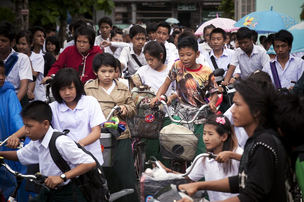
Students return home from school in Tachilek, Myanmar. Photo by United Nations Photo, via Flickr. Licensed under CC-BY-ND-2.0.
Population
The 2014 Myanmar Population and Housing Census show that Myanmar’s total population was 51.48 million. This number includes an estimated 1.2 million people who were not enumerated in specific locations within the country. The current total population size represents an increase of 46 percent over the total population recorded in the 1983 census, which was the last national census conducted in Myanmar.1
According to the 2014 Census, the population of Myanmar increased at the rate of 0.89 percent per annum between 2003 and 2014. Comparing this figure to the decennial growth rate from 1973 reveals a consistent decline in the rate of population growth, from 2.029 percent per annum during 1973- 1983, to 1.41 percent per annum during 1983-1993, and to 1.38 percent in the 1993-2003 periods.2
Some key statistics:
- 70 percent of Myanmar’s population live in rural areas
- 65.6 percent of the population are working age (15-64), around 28.6 percent younger than 15 and around 5.8 percent 65 years and over3
- Among the population 15 years and over, a higher proportion of males (61%) than females (58%) are Married. Among the younger population (especially between 15 to 24 years), the proportion of unmarried people is large.
- Out of 33.9 million people aged 15 years and over, 30.37 million reported to be literate, representing a literacy rate of 89.5 percent. There are over 3.55 million people who are illiterate.
- Life expectancy at birth is 63.9 for men and 69.9 for women.4
Censuses
In April 2014, the Myanmar government conducted its latest national population and housing census, over three decades since the last was conducted in 1983. . In the post-independence period, comprehensive population and housing censuses were undertaken in 1973, 1983 and 2014.
One unique feature of a census is its ability to provide information down to the lowest administrative level. Such information is vital for planning and evidence based decision-making at every level.
The last census was conducted by the Ministry of Immigration and Population with financial and technical assistance from the United Nations Population Fund (UNFPA) and development partners. 5These censuses recorded:
- total population size and characteristics
- population size of capitals of states and regions
- social characteristics
- migration
- disability
- births and childhood deaths
- types of identity cards
- education and literacy
- economic characteristics
- housing conditions
- availability of household amenities
- growth rates
- population density
- religion
- Other data.
Censuses are carried out through house-to-house visits over a ten-day period. The last Census was conducted from 29th March to 1010 April 2014. The census enumeration aimed to count all persons who were within the borders of Myanmar on the night of 29th March 2014, including foreign diplomatic corps and their families. Their number is less than 1,000 and is included as a special area under Nay Pyi Taw Council.6
The population of Myanmar has been growing since census taking was initiated under British colonial rule in 1872, rising from 2.7 million persons to 10.5 million in 1901, to 13.2 million in 1921, to 28.9 million in 1973, 35.3 million persons in 1983 and 51.5 million persons in 2014.
Population Density
The population density of Myanmar is 76 persons per square kilometer. As the largest country by geographical area in mainland Southeast Asia, Myanmar has one of the lowest population densities in the region, comparable to Cambodia and Malaysia.7 With the increase in population in all States and Regions, the population density has increased throughout the country. Increases are most pronounced in areas of greater urbanization. Yangon, the commercial capital of Myanmar, is also the most densely populated area in the country.
References
- 1. The 2014 Myanmar Population and Housing Census Report Volume 2-B The Union Report: Occupation and Industry: https://opendevelopmentmyanmar.net/dataset/?id=the-2014-myanmar-population-and-housing-census-census-report-volume-2-b-the-union-report-occupation
- 2. 2014 Myanmar Population and Housing Census: Figures at a Glance: https://opendevelopmentmyanmar.net/dataset/?id=2014-myanmar-population-and-housing-census-figures-at-a-glance
- 3. The 2014 Myanmar Population and Housing Census Report Volume 2-B The Union Report: Occupation and Industry: https://opendevelopmentmyanmar.net/dataset/?id=the-2014-myanmar-population-and-housing-census-census-report-volume-2-b-the-union-report-occupation
- 4. The 2014 Myanmar Population and Housing Census Report Volume 2-B The Union Report: Occupation and Industry: https://opendevelopmentmyanmar.net/dataset/?id=the-2014-myanmar-population-and-housing-census-census-report-volume-2-b-the-union-report-occupation
- 5. The Population and Housing Census of Myanmar, 2014. Summary of the provisional results: https://opendevelopmentmyanmar.net/dataset/?id=the-population-and-housing-census-of-myanmar
- 6. The Population and Housing Census of Myanmar, 2014. Summary of the provisional results: https://opendevelopmentmyanmar.net/dataset/?id=the-population-and-housing-census-of-myanmar
- 7. Population density from 1995 to 2000 Thailand, Myanmar, Laos, Vietnam and Cambodia: https://opendevelopmentmyanmar.net/dataset/?id=population-density-from-1995-to-2013-thailand-myanmar-laos-vietnam-and-cambodia

